Saona Island Topobathymetric LiDAR: Mapping Beaches, Shorelines and Shallow Seabeds with Laser Scanning
Introduction
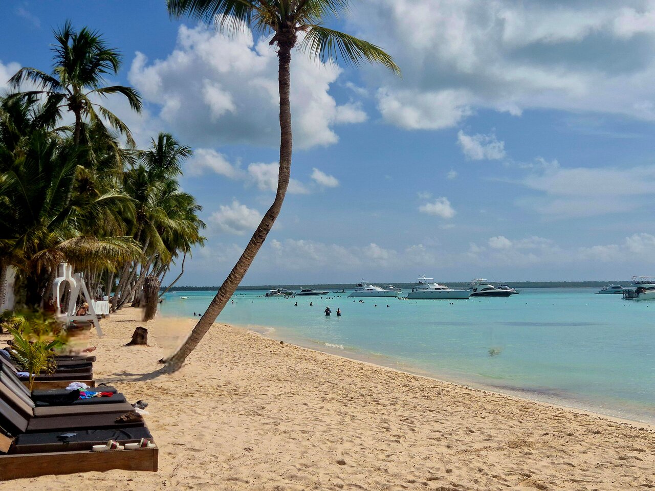
Saona Island, located off the southeastern coast of the Dominican Republic, is a valuable setting for understanding how coastal landscapes connect with the shallow marine environment. Beaches, nearshore waters, submerged terrain and coastal ecosystems form one continuously changing physical system. Studying these environments requires accurate elevation information both above and below the water surface.
Traditional land surveys and underwater depth surveys often use different instruments and methods. Airborne topobathymetric LiDAR offers another approach: it uses laser scanning to collect elevation information across coastal land and suitable shallow-water environments during the same survey operation.
For coastal engineers, marine researchers and environmental planners, this technology can help create connected three-dimensional models of the coastal zone. A carefully designed topobathymetric LiDAR project could support future research into shoreline change, coastal flooding, beach morphology and shallow-water habitats around Saona Island.
This article explains how the technology works, what information it can collect, where it is useful and what limitations must be considered before applying it to a Caribbean island environment.
1. What Is Topobathymetric LiDAR?
LiDAR means Light Detection and Ranging. It is a remote sensing technology that measures distances by transmitting laser pulses and recording the light reflected from surfaces.
Topobathymetric LiDAR combines two related surveying functions:
- Topographic LiDAR: Measures the elevation and surface characteristics of land.
- Bathymetric LiDAR: Uses water-penetrating laser light to measure submerged terrain in suitable water conditions.
The combined system is designed to collect information across the land-water boundary. Its output can include beach elevations, coastal terrain, water-surface returns and submerged seabed elevations.
This is particularly valuable in coastal studies because land and underwater surveys can otherwise produce separate datasets with gaps or inconsistencies near the shoreline.
NOAA describes topographic systems as typically using near-infrared light and bathymetric systems as using green light capable of penetrating water. The combined observations can be processed into three-dimensional elevation products. (NOAA: https://oceanservice.noaa.gov/geodesy/lidar.html)
2. How Does Airborne Topobathymetric LiDAR Work?
A typical survey system is mounted on an aircraft. The aircraft follows planned flight lines while the scanner sends laser pulses toward the surface below.
A topobathymetric system commonly uses two laser wavelengths:
Near-infrared laser
The near-infrared laser is primarily used to measure land surfaces. It can record returns from beaches, exposed rocks, vegetation and other coastal features.
It also helps identify the water surface because near-infrared light is strongly reflected or absorbed at the air-water interface rather than providing useful seabed returns.
Green laser
The green laser is used for the underwater component. Some of its energy passes through the water, travels toward the seabed and returns to the airborne sensor after reflection.
The instrument records the timing and characteristics of the returned signal. By identifying the water-surface and seabed returns, processing software can estimate water depth and seabed elevation.
The green laser loses energy as it travels through water. Suspended particles, algae, bubbles and other materials can scatter or absorb light, reducing the strength of the seabed return.
Natural Resources Canada explains how near-infrared and green laser observations work together, including the effects of refraction and water clarity. (Reference: Federal Airborne LiDAR Data Acquisition Guideline)
3. The Science Behind Laser Distance Measurement
LiDAR measures distance using the travel time of a laser pulse.
For a simplified land measurement, the distance can be expressed as:
R = c × Δt / 2
Where:
- R = distance between the sensor and reflecting surface
- c = speed of light
- Δt = measured round-trip travel time
The division by two is necessary because the laser travels to the target and then returns to the sensor.
Underwater measurements require additional corrections. Light changes speed and direction when it passes from air into water. Therefore, the processing system must account for refraction and the different optical properties of the two environments.
The exact calculation depends on the instrument design, the detected waveforms and the processing method. A reliable survey should not treat the underwater path as if the laser had travelled entirely through air.
4. Why Water Clarity Matters
Water clarity is one of the most important factors affecting bathymetric LiDAR performance.
A green laser needs to travel through the water column, reflect from the bottom and return to the airborne receiver. If too much light is scattered or absorbed, the seabed return may become weak or impossible to identify confidently.
Several environmental conditions can influence the result:
- Suspended sediment in the water.
- Algae and other biological material.
- Dissolved organic matter.
- Breaking waves and entrained air bubbles.
- Dark or low-reflectance seabed materials.
- Changing turbidity after rainfall or coastal disturbance.
Clear water can allow greater penetration than turbid water, but the maximum achievable depth is not a fixed value for every instrument or location.
NOAA notes that bathymetric LiDAR can be useful in shallow coastal areas and that depth performance depends on water clarity and system capability. Its coastal topobathymetric data description also identifies gaps where the bottom return cannot be confidently detected.
For a Saona Island survey, water clarity should be assessed before flight planning. A single survey date may not represent conditions throughout the year.
5. What Does a Topobathymetric LiDAR Survey Produce?
The first major output is a point cloud: a collection of individual three-dimensional measurements.
Each point can contain spatial coordinates and additional attributes such as return intensity, classification or return number, depending on the system and processing workflow.
After quality control, the point cloud can be used to produce several mapping products.
Digital elevation models
A digital elevation model represents the elevation of a surface over a defined area. A coastal model may include exposed land and suitable submerged terrain.
Digital terrain models
A digital terrain model attempts to represent the underlying ground or seabed rather than vegetation, buildings or other objects.
Coastal cross-sections
Cross-sections show changes in elevation from inland areas across the beach and into shallow water. Engineers can use them to examine beach profiles and coastal slope.
Contour maps
Contours connect locations with equal elevation. They can help interpret beach gradients, submerged terrain and coastal landforms.
Three-dimensional visualisations
A 3D model can help planners and researchers examine how the land surface connects to underwater features.
These products should always include metadata describing survey dates, coordinate systems, vertical references, point density, processing methods and known limitations.
6. How Is a Topobathymetric LiDAR Survey Planned?
A reliable coastal survey begins before the aircraft takes off.
Step 1: Define the survey objectives
The project team should identify what the data will be used for. Shoreline monitoring, flood modelling, habitat mapping and engineering design may require different coverage and quality specifications.
Step 2: Assess environmental conditions
The team should examine water clarity, wave conditions, turbidity, weather, vegetation and expected seabed reflectance.
For shallow-water work, poor visibility can create missing seabed returns even when land measurements are successful.
Step 3: Design flight lines
Flight planning determines the survey area, flight altitude, line spacing, overlap and expected point density.
The plan should cover the coastal land area and extend seaward far enough to capture the intended shallow-water zone, subject to the sensor's capabilities.
Step 4: Establish positioning and orientation
Airborne LiDAR systems use satellite positioning and an inertial measurement unit to determine the aircraft's position and orientation.
These measurements are combined with scanner observations and calibration information to calculate the location of each laser return.
Step 5: Collect the data
The aircraft follows the planned lines and records laser returns along with navigation and system information.
Step 6: Process and validate
The survey team processes the observations, identifies land and water returns, corrects underwater measurements and evaluates data quality.
Independent ground or water-based checks are important before the data are used for critical engineering decisions.
7. The Importance of GNSS and Inertial Measurement Systems
The laser scanner measures ranges, but range measurements alone are not enough to determine the exact location of a point on the Earth's surface.
The system also needs to know:
- The aircraft's position.
- The aircraft's roll, pitch and heading.
- The scanner's orientation.
- The angle of the laser beam.
- The timing and calibration parameters.
Global Navigation Satellite System (GNSS) observations help determine aircraft position. An inertial measurement unit (IMU) records aircraft movement and orientation.
Combining these measurements with laser range and scan-angle information produces georeferenced point clouds.
This positioning workflow is essential for comparing surveys collected on different dates. It also makes it possible to combine airborne LiDAR with other coastal mapping datasets.
8. Applications Around Saona Island
Topobathymetric LiDAR could support several types of coastal research around Saona Island, provided a suitable survey is conducted and the results are validated.
Beach morphology and shoreline research
A connected land-and-water elevation model can help researchers study beach profiles, coastal slopes and changes in nearshore terrain.
Repeated surveys may help identify where elevation has increased or decreased. However, meaningful change detection requires comparable survey methods, reference systems and uncertainty assessments.
Coastal flooding assessment
Flood models require information about the terrain over which water may travel.
A continuous coastal elevation model can improve the representation of the transition between inland terrain, beaches and shallow marine areas.
LiDAR data alone do not predict a flood. They are one input to a model that also needs water levels, waves, boundary conditions and other relevant information.
Shallow seabed and habitat mapping
Seabed shape is useful for understanding the physical setting of marine habitats.
Topobathymetric LiDAR may help map shallow submerged terrain where water clarity and bottom reflectance permit reliable returns.
Additional ecological surveys are still necessary to identify and confirm habitat types. Elevation data should not be treated as direct proof of a particular species or ecosystem.
Coastal infrastructure planning
Engineers may use detailed coastal elevation information when evaluating proposed structures, access routes, drainage systems and shoreline protection concepts.
Any engineering design should be based on suitable survey accuracy, site investigations and applicable technical standards.
Coastal change monitoring
Repeated elevation surveys can help quantify changes in beach and seabed surfaces.
Researchers can compare digital elevation models from different dates to estimate erosion or deposition, provided that data quality, reference levels and uncertainty are carefully controlled.
9. Topobathymetric LiDAR Compared with Other Survey Methods
No single survey technology is suitable for every coastal environment.
Topographic LiDAR is useful for land elevation and surface mapping, but conventional near-infrared measurements do not provide submerged seabed elevations.
Bathymetric sonar uses sound waves to measure underwater depths. It can work in water conditions where optical LiDAR may struggle, although it generally requires a vessel or other water-based platform.
Satellite-derived bathymetry uses optical satellite imagery to estimate shallow-water depth. Its performance depends on water clarity, bottom conditions, image quality and calibration.
Aerial photogrammetry uses overlapping images to reconstruct visible surfaces. It is useful for exposed beaches and coastal features, but ordinary visible-light imagery does not directly measure submerged terrain through opaque or optically complex water.
A practical coastal mapping programme may combine these methods. NOAA's lidar workflow guidance notes that topobathymetric LiDAR can help fill the transition between topographic LiDAR and bathymetric sonar coverage.
10. Accuracy, Validation and Data Quality
A visually attractive 3D model is not automatically an accurate survey.
The project team must assess both horizontal and vertical accuracy, along with the reliability of submerged returns.
Important quality checks include:
- Comparing land elevations with independent survey control.
- Checking underwater depths against suitable reference measurements.
- Examining differences between overlapping flight lines.
- Reviewing point density and missing-data areas.
- Assessing the effects of water conditions.
- Checking calibration and positioning records.
- Reporting uncertainty and data limitations.
Water-surface movement, waves, refraction corrections, seabed reflectance and aircraft positioning can all affect the final product.
For coastal engineering, uncertainty should be reported clearly rather than hidden behind a single accuracy number. The appropriate quality requirement depends on the intended use of the data.
11. Challenges of Using Topobathymetric LiDAR in the Caribbean
A tropical island environment presents several practical considerations.
Variable water clarity
Rainfall, runoff, sediment resuspension and biological activity may affect underwater visibility. Survey timing should consider these changes.
Breaking waves
Foam and bubbles can scatter the green laser and interfere with seabed detection. Surf zones may contain gaps in the underwater point cloud.
Dense coastal vegetation
Vegetation can complicate the extraction of bare-earth terrain. Multiple laser returns and classification algorithms may help, but dense cover can still limit ground detection.
Complex coastal geometry
Rocky margins, small inlets, shallow reefs and changing beach profiles may require careful flight planning and supplementary surveys.
Data gaps
A successful survey does not guarantee complete coverage of every submerged area. Missing seabed returns should be identified and documented instead of being presented as measured terrain.
12. A Proposed Topobathymetric LiDAR Research Framework for Saona Island
A future research project could be organised into five stages.
Stage 1 – Preliminary assessment: Review available coastal maps, satellite imagery, water conditions and the intended research objectives.
Stage 2 – Survey design: Select a suitable airborne sensor, define the land and shallow-water coverage, establish positioning requirements and plan independent validation.
Stage 3 – Data acquisition: Collect airborne LiDAR observations during suitable weather and water-clarity conditions.
Stage 4 – Processing and quality control: Generate classified point clouds, digital terrain models, coastal cross-sections and uncertainty information.
Stage 5 – Coastal analysis: Use the validated dataset for shoreline research, beach morphology, shallow seabed analysis or suitable flood-modelling applications.
The project should identify areas where LiDAR cannot obtain reliable bottom returns and use supplementary methods where necessary.
This is a proposed research framework, not a statement that a topobathymetric LiDAR survey or permanent monitoring programme already exists around Saona Island.
13. Why This Technology Matters for Coastal Engineering
Coastal engineering requires an understanding of how land and water interact.
A beach cannot be studied completely by measuring only its exposed surface. Similarly, underwater terrain near the shoreline can influence wave transformation, sediment movement and coastal processes.
Topobathymetric LiDAR offers a way to collect connected elevation information across much of this transition zone.
For civil engineering students, it is also a useful example of how surveying, remote sensing, geodesy, GIS and coastal engineering work together. The technology demonstrates that modern coastal mapping is not limited to traditional ground measurements or vessel-based depth surveys.
Frequently Asked Questions
1. What is topobathymetric LiDAR?
It is an airborne laser surveying method designed to measure both land elevation and submerged terrain in suitable shallow-water environments.
2. How does LiDAR measure underwater depth?
A green laser travels through the water and reflects from the seabed. The system identifies water-surface and seabed returns and calculates depth after applying the necessary optical and geometric corrections.
3. Why does topobathymetric LiDAR use green light?
Green wavelengths can penetrate water more effectively than the near-infrared wavelengths commonly used for land mapping. Actual penetration depends on water clarity, the sensor and seabed conditions.
4. Can LiDAR map coral reef areas?
It may map shallow reef-related seabed surfaces where the water is sufficiently clear and the bottom returns are detectable. Ecological identification and reef condition assessment require additional evidence.
5. Can it replace sonar surveys?
No. LiDAR and sonar have different strengths. LiDAR is useful for rapid airborne coverage of suitable shallow water, while sonar is important for deeper or optically difficult underwater areas.
6. Is topobathymetric LiDAR already available for Saona Island?
This article does not establish that a specific topobathymetric LiDAR survey has been completed around Saona Island. Local coverage and data availability should be verified through authoritative mapping repositories and survey providers.
7. What is the main limitation of bathymetric LiDAR?
Water clarity is a major limitation because suspended material, bubbles and other optical obstructions can weaken or prevent reliable seabed returns.
8. What can engineers do with topobathymetric LiDAR data?
They can use suitable validated data for coastal terrain modelling, shoreline studies, flood assessment, beach morphology research and preliminary infrastructure planning.
Conclusion
Topobathymetric LiDAR brings land and shallow-water surveying together through airborne laser technology. By combining near-infrared and green laser measurements with precise positioning and orientation data, it can produce detailed three-dimensional information across suitable coastal environments.
For Saona Island, this technology represents a promising approach for future research into beach morphology, shoreline change, shallow seabed terrain and coastal flood modelling. Its usefulness will depend on water clarity, survey design, instrument capability, data processing and independent validation.
The most effective coastal mapping strategy is not necessarily to rely on one instrument. Combining topobathymetric LiDAR with sonar, GNSS surveys, aerial imagery and field observations can provide a more complete understanding of the coastal environment.
A connected view of the beach and seabed can help researchers understand the coast as one continuous landscape.
Local explorer & expert guide in Dominikánská Republika Dovolená.